

Bulk material inventory
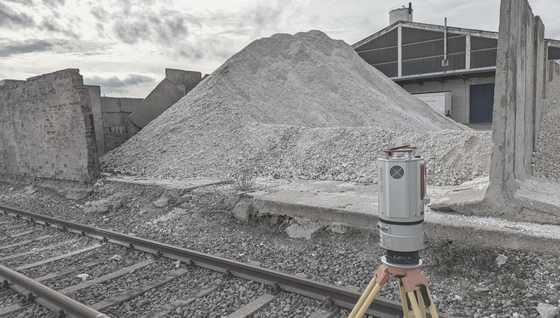
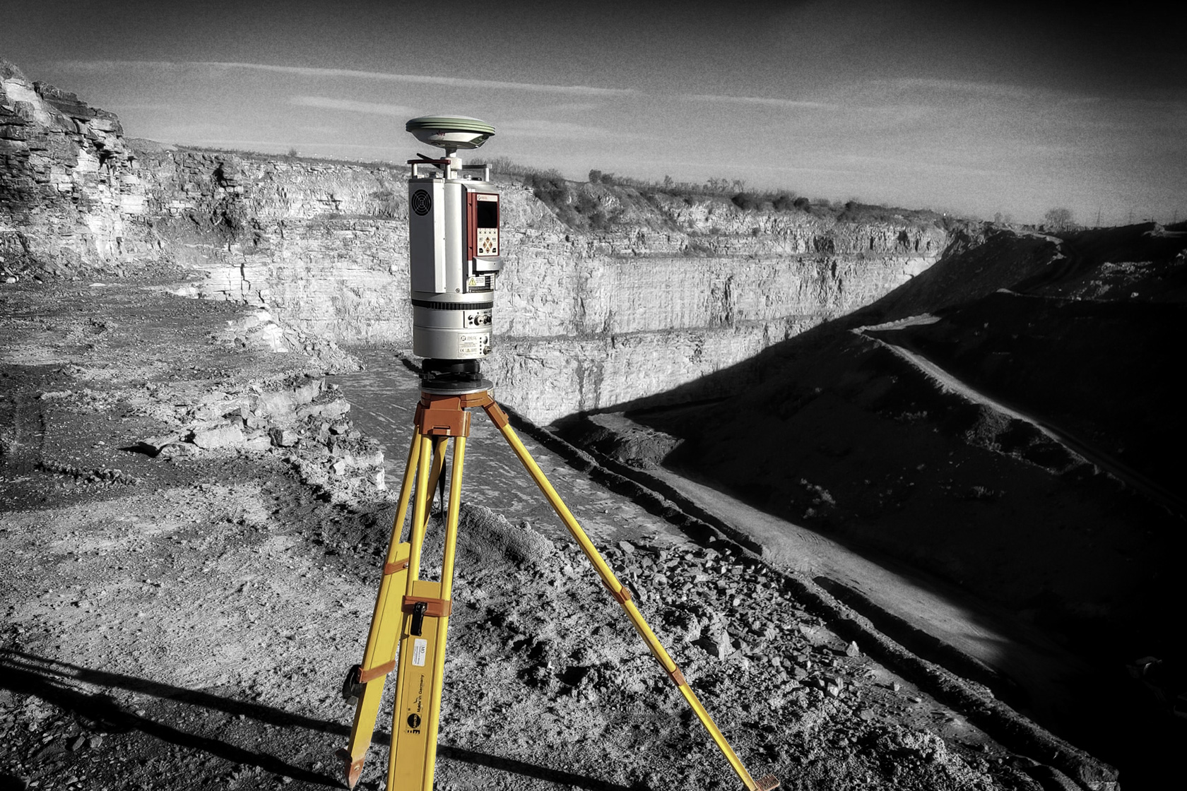
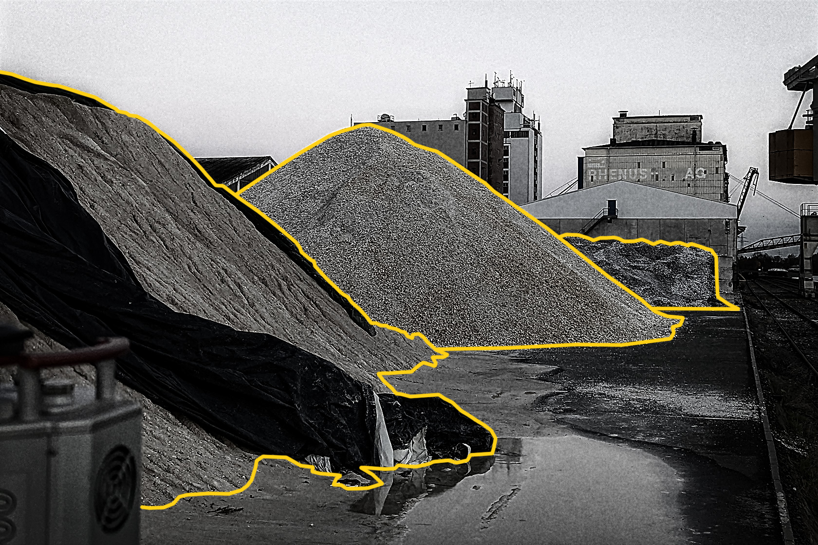
With the bulk material inventory, we offer service for the exact determination of the volume of your bulk material stockpiles. Your stockpiles are recorded in 3D with our professional Riegl laser scanner and subsequently evaluated with special software. This can be any type of bulk material. Common examples are crushed stone, industrial minerals such as bauxite, magnesite, or barite, but also metal scrap or wood chips.
Our service is recognized by the audit and you will receive a stockpile volume with an accuracy of >99%.
Outside of Germany, the inventory service is offered in Austria, Switzerland, the Netherlands, Belgium, Denmark, Poland and the Czech Republic.
Procedure: Experts from Sachtleben Technology come to your warehouse on the day you request and scan your stockpiles. Within two working days, you will then receive a results report, the 3D data and a measurement report.


