Blog · how-to · 7min read
Stockpile Measurement Methods: 6 Ways to Measure Bulk Volume
03 Aug 2026 · Sachtleben Technology
Anyone specifying stockpile or bulk volume measurement runs into six fundamentally different methods — and six vendor camps, each declaring theirs the only sensible one. We build LiDAR systems ourselves, and we still have a stake in an honest comparison: a customer on the wrong technology is an unhappy customer two years later. Here is the overview we wish someone had handed us at the start.
The starting question is never "which technology" but "which task". Distinguish three cases: the point-in-time inventory (quarterly or yearly, high accuracy, audit-grade), continuous stock monitoring (every shift, every hour, live into the ERP) and process measurement (volume flow on the belt, fill level in the bunker, real-time into the control system). Most bad purchases happen because a technology from one case gets sold into another.
This is what we build: OWL EYE® STOCKPILE — continuous bulk volume measurement with stationary 3D-LiDAR. ±1 % accuracy, 24/7, every pile live in the dashboard — no drone, no surveyor, no downtime.
→ See the solution: OWL EYE® STOCKPILE — real-time stockpile monitoring
1. Manual survey (total station, GNSS walk, pacing)
The classic for the annual inventory. A surveyor walks the pile or shoots profiles.
- Strengths: No capital outlay, long established, accepted by auditors. For two piles once a year, hard to beat.
- Weaknesses: Accuracy depends on the measuring technique: pacing and simple profile shots drift 5–15% on irregular, fissured piles — with modern 3D measurement, ±1% is the standard: a terrestrial laser scanner captures the whole pile from a few setup positions with a clear line of sight — elevated at the edge, from above or, where the geometry demands it, from the pile itself (that is how we run our bulk inventory service). It remains a point-in-time survey, though: results arrive days later, and between two surveys the stock is invisible.
- Fits when: few piles, rare measurement, no live requirement.
2. Drone photogrammetry / drone LiDAR
One flight produces a 3D model of the whole yard.
- Strengths: Large outdoor areas in a single pass, 1–3% accuracy with a good ground-control network, results everyone understands at a glance.
- Weaknesses: Weather-dependent (photogrammetry additionally needs daylight), practically unusable inside buildings, needs a trained pilot and, depending on airspace, flight approval. Most importantly: it remains a point-in-time measurement — between two flights, nobody sees the stock, and every flight costs again. Measuring weekly instead of quarterly multiplies the recurring cost.
- Fits when: large outdoor yard, monthly or quarterly inventory is enough. The full comparison: LiDAR vs. drone.
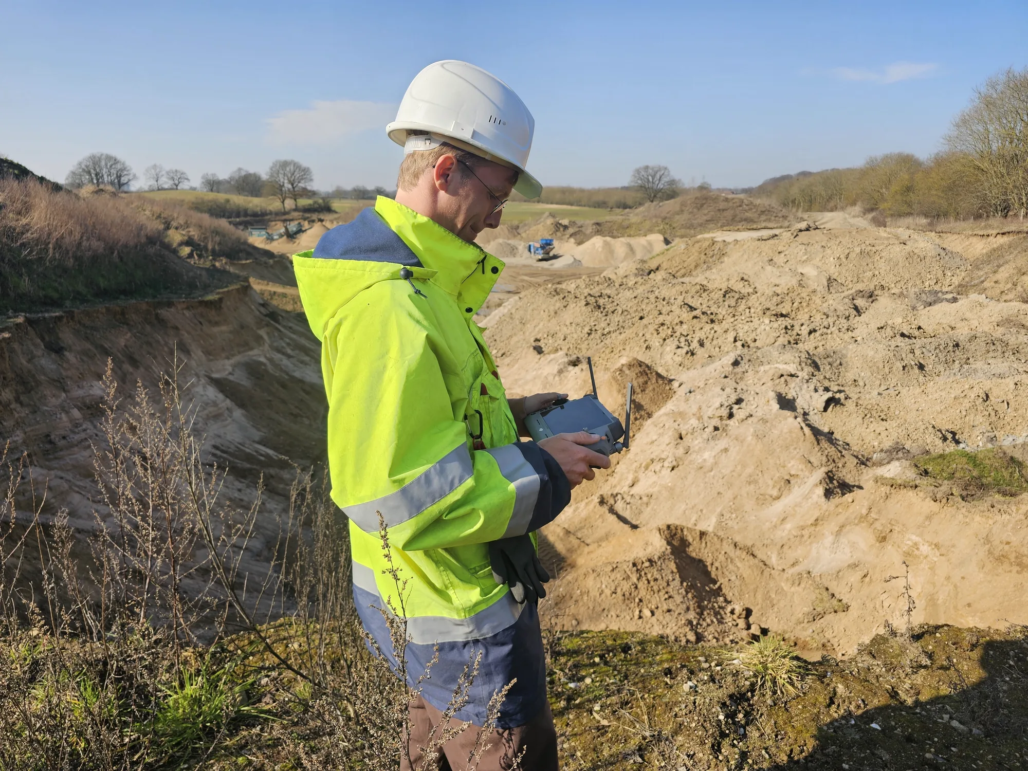
We offer this as a service: drone surveying & aerial survey — across the entire DACH region, with local pilots. Flight incl. processing typically €1,200–2,500, fixed-price quote within two working days.
→ To the service: drone surveying & stockpile survey by drone
3. Ultrasonic
The cheapest level sensor — one point, one echo, one distance.
- Strengths: Price. Entirely sufficient for a small silo with a flat material surface.
- Weaknesses: A single point says almost nothing about volume once cones, bridging or build-up appear. Dust attenuates the echo; temperature layering distorts the time-of-flight reading. Range is limited.
- Fits when: small silos, homogeneous material, a point-level alarm rather than a true volume is required.
4. Radar (1D and 3D)
The rugged choice for point or surface measurement — radar penetrates dust with almost no signal loss.
- Strengths: Largely unaffected by dust, vapour and build-up on the antenna. 1D radar is the standard for single silo levels; 3D radar systems produce coarse surface profiles even in extremely dusty bunkers.
- Weaknesses: Spatial resolution. A 3D radar delivers a few dozen measurement points per surface; a 3D LiDAR resolves the same surface with hundreds of thousands. For zone balances, FIFO aging or block models, radar resolution is not enough. The detailed comparison: LiDAR vs. radar.
- Fits when: extreme dust (active filling in a closed silo), simple geometry, a fill level rather than a block model.
The 3D alternative to the point probe: OWL EYE® BUNKERS & FEEDERS — 3D level measurement for silos & bunkers: the complete surface instead of a single height, ±1 %, contactless and dust-resilient.
→ See the solution: 3D level measurement for silos & bunkers
5. Belt scale
Strictly a mass measurement, not a volume measurement — but the benchmark it all gets compared against in every process-measurement tender.
- Strengths: Direct mass measurement, certifiable — for custody-transfer weighing often the only permissible solution.
- Weaknesses: Drift from material build-up, mechanical wear, calibration downtime. And it only measures throughput at one point — it never sees the stock in the yard.
- Fits when: certified billing weight is mandatory. When adding or switching pays off: LiDAR vs. belt scale.
The wear-free alternative to the belt scale: OWL EYE® VOLUME FLOW — conveyor volume flow measurement: ±1 %, no moving parts, belt load and height profile included.
6. Stationary 3D LiDAR
Permanently mounted sensors above the pile, the belt or inside the bunker — continuous point clouds, turned into volume, tonnage and a block model in real time. How it works step by step: LiDAR stockpile measurement in five steps.
- Strengths: The only method combining 24/7 operation with high spatial resolution: ±1% volume accuracy, every pile individually, zones and aging (FIFO) traceable, values delivered via REST, OPC UA or a SAP interface straight into the ERP. No recurring cost per measurement — the marginal cost of one more scan is zero.
- Weaknesses: Upfront investment (sensors plus installation), and sensors need line of sight — under permanent heavy dust right at the discharge point, radar wins. For a single annual inventory a fixed installation is oversized; there, a terrestrial laser scan as a service is the more economical answer.
- Fits when: the stock figure is needed continuously — inventory monitoring, process control, load-out, FIFO. That is exactly what we built OWL EYE® STOCKPILE (piles) and OWL EYE® VOLUME FLOW (conveyors) for.
The decision logic in four questions
- How often do you need the figure? Once a year → surveyor or scan service. Monthly, outdoors → drone. Hourly or live → stationary LiDAR.
- Indoors or outdoors? Inside buildings, drone and GNSS are largely ruled out; stationary LiDAR and terrestrial scanning remain.
- How much dust? Dust only while filling → LiDAR with timed measurement windows. Permanent dense dust → radar, accepting the resolution trade-off.
- Is a level enough, or do you need a volume? A single point is not a volume. As soon as cones, multiple zones or aging matter, there is no way around full-surface 3D measurement.
Our honest bottom line
There is no best method — only the right one per task. For the rare point-in-time inventory, a fixed LiDAR installation is too much; for continuous stock monitoring with ERP integration it is, in our experience across 40+ industrial sites, the only method without structural compromises. If you are unsure which case is yours: 15 minutes with our engineering team usually settles it faster than three vendor presentations — even if the answer turns out to be "a drone is enough for you". More fundamentals: Why LiDAR for bulk materials and the FAQ from the field.
Comparing complete systems rather than methods? See stockpile monitoring systems compared — fixed LiDAR, drone, SLAM, radar and manual survey side by side.
Frequently asked questions
What are the methods for bulk volume measurement?
(2) Drone aerial photogrammetry — a UAV flies the yard and reconstructs surfaces from overlapping photos. Fast for open outdoor piles, but weather-bound, restricted in many sites, and accurate to 1–3% with ground control and 3–5% without. No indoor coverage and no continuous data.
(3) Terrestrial laser scanning — a survey-grade scanner (e.g. Riegl VZ-1000) reaches >99% accuracy, but the operator must visit site for every capture. Best for year-end stocktaking, due diligence, or trade verification.
(4) Fixed LiDAR — permanently mounted overhead 3D-LiDAR delivers continuous ±1% volume readings 24/7, indoor or outdoor, through dust. The only method that supports operational decisions in real time. OWL EYE® covers all four. OWL EYE® STOCKPILE is the fixed-LiDAR system for continuous monitoring; Bulk Inventory is the terrestrial-scan audit service; Drone Survey is the aerial option for one-off yard captures. The right method depends on how often you need the number and what tolerance the downstream process requires.
Is a drone or fixed LiDAR better for stockpile inventory?
How accurate is stockpile measurement?
What does continuous stockpile monitoring cost?
How often should stockpiles be measured?
When is Radar actually a better choice than LiDAR?
Want to discuss this topic or share your own experience? Email info@sachtleben-technology.com — we always reply.